DINOSAUR SCIENCE · 4 MIN READ
Continental Drift and Dinosaurs: Why Ancient Maps Matter
Follow the breakup of Pangaea and learn how changing seas, land connections, and climates shaped dinosaur distribution.
By Dinosaur Sounds ·
The short answer
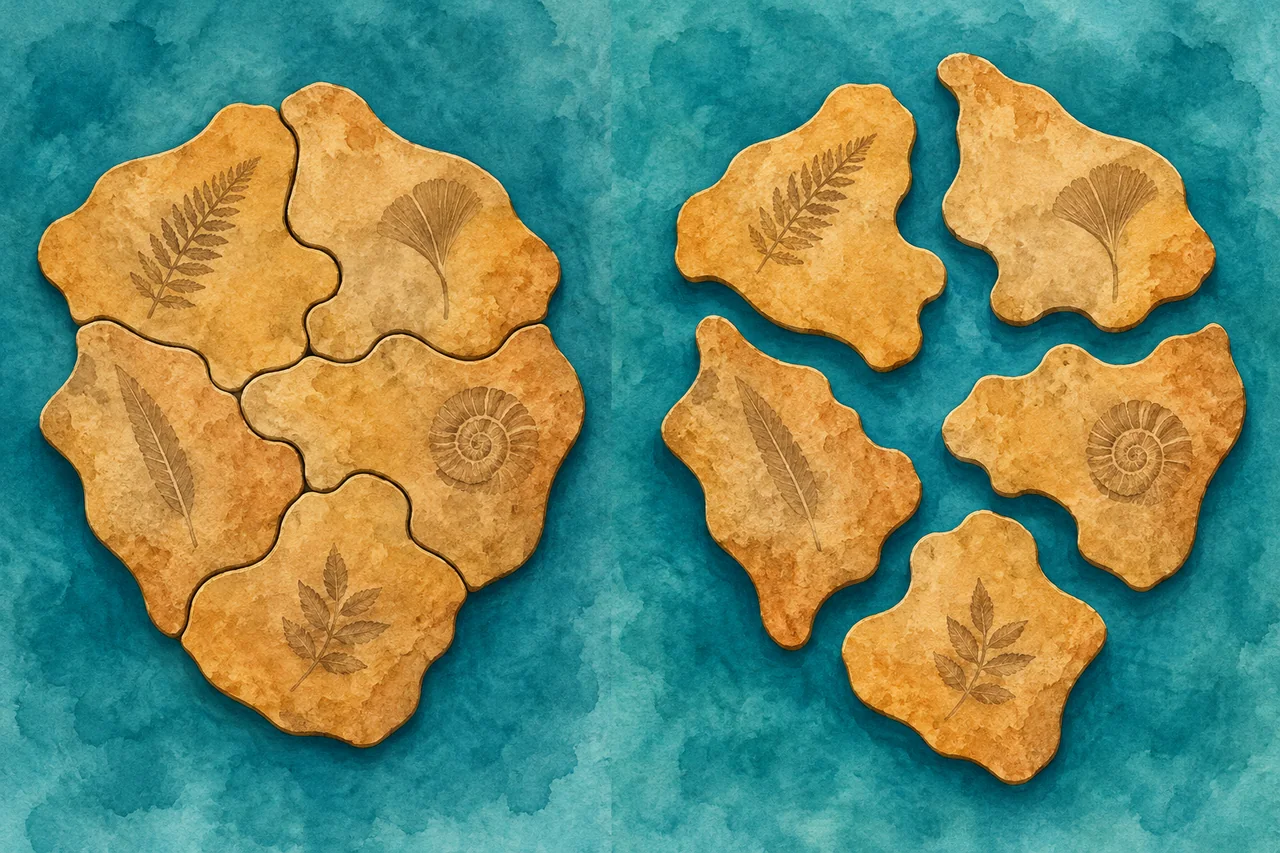
Dinosaurs evolved while Earth's continents were changing position. The breakup of Pangaea, shifting seas, and changing land connections influenced where populations could spread and how they became isolated. Ancient maps therefore matter as much as modern fossil locations.
A fossil found in today's Argentina belonged to an animal living in an ancient landscape. The modern country name is useful for locating the discovery, but it is not a complete description of that landscape.
Begin with Pangaea
Near the beginning of dinosaur history, much of Earth's land was joined in the supercontinent Pangaea. Over the Mesozoic Era, that landmass fragmented through plate tectonics.
The US Geological Survey's dinosaur geography guide describes the broad transformation. Dinosaurs eventually occupied every present-day continent, including Antarctica.
This did not happen on a world map that stayed fixed. A route open to one population at one time could later be broken by an ocean or altered by a sea advancing across low ground.
The breakup was a long process
Pangaea did not split into today's continents overnight. Different regions separated at different times, and the boundaries and connections changed repeatedly.
The Australian Museum's Mesozoic overview places dinosaur evolution against that changing geography. Northern and southern landmasses developed complex histories rather than following one simple two-piece division.
A good prehistoric map therefore needs a date. “During the dinosaur age” is too broad for questions about which animals could meet or how a lineage crossed between regions.
Isolation can change evolution
When populations become separated, they can evolve along different paths. New barriers may limit exchange, while later connections can allow dispersal.
Similar dinosaur groups on distant continents can therefore reflect ancient connections or more complicated movement histories. Scientists compare fossil ages and evolutionary relationships to test those explanations.
Finding related animals on two continents does not prove they swam across the modern ocean. Nor does it automatically establish a direct land bridge at the exact time of each fossil.
Climate created barriers too
Connected land does not guarantee easy travel. Deserts, mountains, temperature differences, and habitat changes can restrict where an animal lives.
Sea level can also divide regions without a continent physically splitting apart. Shallow inland seas may isolate dinosaur populations or leave narrow routes between areas.
A review of dinosaur biogeography examines the interaction of geographic change, climate, and evolutionary history. Distribution is a biological problem as well as a tectonic one.
Why gaps on maps can mislead
A region with few known dinosaur fossils may have lacked suitable fossilization conditions or exposed rocks. It may also have been studied less intensively than another region.
The absence of discoveries is therefore different from strong evidence that dinosaurs were absent. Scientists need to consider the quality and coverage of the rock record.
A map of fossil finds is partly a map of ancient animals and partly a map of preservation and research effort. Keeping both components in mind avoids overconfident conclusions.
Building a believable dinosaur scene
To choose which species could share a landscape, check their time ranges, fossil localities, and the ancient geography of those localities.
Being found in the same modern country is insufficient if the dinosaurs lived tens of millions of years apart. Living at the same time is also insufficient if they occupied distant, separated environments.
For a family activity, place three dinosaur cards on a timeline before putting them on a map. This simple order catches many accidental meetings that appear in toys and cartoons.
A moving planet leaves a moving story
Continental drift helps explain why dinosaur evolution produced such varied regional communities. It also shows why the history of life and the history of Earth need to be studied together.
Explore our Triassic overview, continue into the Jurassic Period, and compare fossil discovery locations. Every dinosaur had both a place in its family tree and a place on a world map that was still changing.
Sources
- US Geological Survey: Where did dinosaurs live?
- Australian Museum: The Mesozoic Era
- Dinosaur biogeography review
Research reviewed: 7 October 2026.